A full fleet of AI cameras and sensors are helping fight against the LA wildfires - but drones are struggling
News technology has been deployed for some time now to help tackle natural disasters, but it can't fight climate change

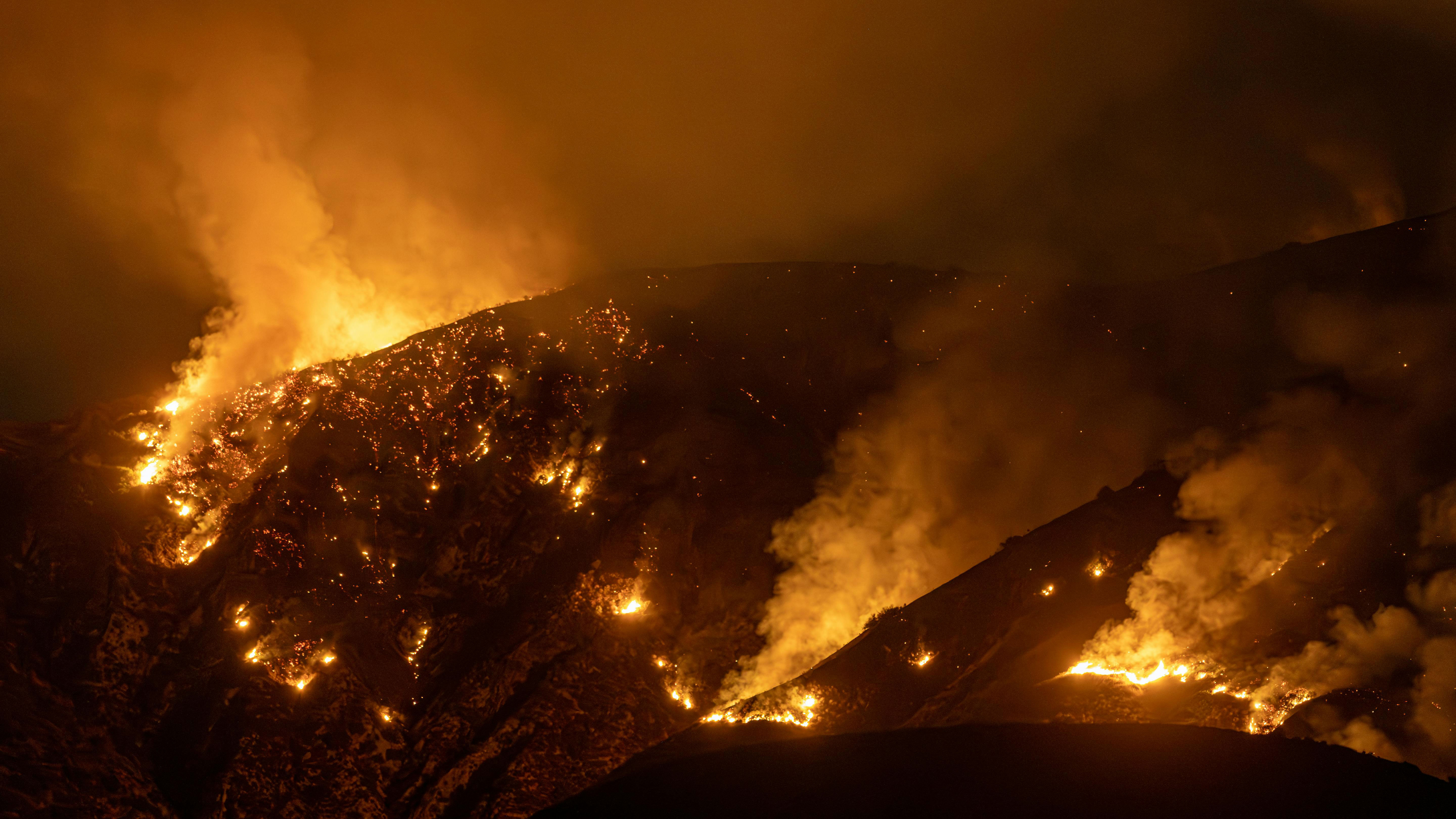
Since January 07, the Palisades Fire, Hurst Fire and Eaton Fire have destroyed more than 38,000 acres of land across Los Angeles, burned 12,000 structures to the ground, have killed at least 24 people, and displaced 10,000 residents.
Earlier this year, California was hit by another wildfire in the remote Bay Area, however the spread of the fire was contained quickly, thanks to the help of AI cameras. There are over 1,100 AI powered cameras in California that work by detecting smoke and sending a notification to firefighters.
The combination of strong Santa Ana winds, arid vegetation and dry weather conditions create an incredibly difficult challenge for firefighters and others trying to stop the spread of the devastation.
Marcus Hernandez, deputy chief in Cal Fire’s Office of Wildfire Technology Research and Development told StateScoop that Alert California – the public program launched in 2019 with the University of San Diego that uses high definition smart cameras across the state to track and monitor wildfires – has been an integral tool in these particular fires.
“With over 1,000 cameras, it could be difficult for humans to monitor it, but it provides great situational awareness,” Hernandez said. “The smoke detection is great and one camera can see quite a distance, so there’s quite an efficiency when you look to devices on a coverage level.”
According to the University’s website, the cameras perform 360 degree sweeps every two minutes and are able to see up to 60 miles into the distance on clear days, and up to 120 miles on clear nights .
“The sensors assist with various things like thermal imaging, fire perimeters, preliminary damage assessment, including preliminary aerial and satellite assessment, to let those damage inspection crews know what areas to go to,” Hernandez said.
Get the Digital Camera World Newsletter
The best camera deals, reviews, product advice, and unmissable photography news, direct to your inbox!
California is no stranger to wildfires. The five largest wildfires in the history of California happened between 2018 and 2021, all in Northern California. This 2025 event is among the most destructive in the state's history. Climate change is a major contributing factor, and humans, property, wildlife and forests are all under threat from the increasing prevalence of wildfires.
Similar to most fire departments, Cal Fire is also using drones to inspect damaged areas and places where the wildfires are spreading. However, the Santa An winds, estimated to be between 45 and 70 miles per hour, make using drones difficult – creating turbulence and vertical wind shear.
“The drones can’t handle the winds as much as the crewed aircraft, but our pilots are highly trained on when to utilize them and when they’re most effective,” Hernandez said.
“Years ago, we started talking about how fire season is year-round, it’s no longer a season,” he said. “We are seeing that now.
Take a look at our guides to the best cheap drones, the best camera drones, and the best 360 degree outdoor security cameras.

After graduating from Cardiff University with an Master's Degree in Journalism, Media and Communications Leonie developed a love of photography after taking a year out to travel around the world.
While visiting countries such as Mongolia, Kazakhstan, Bangladesh and Ukraine with her trusty Nikon, Leonie learned how to capture the beauty of these inspiring places, and her photography has accompanied her various freelance travel features.
As well as travel photography Leonie also has a passion for wildlife photography both in the UK and abroad.

