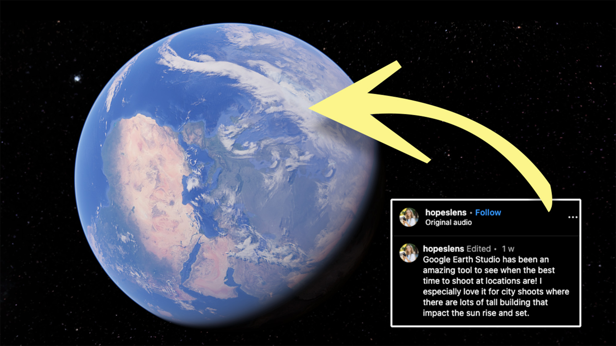
I had no idea Google Earth Studio has this game-changing feature for photographers
Plan photo shoots and even preview the results with this brilliant feature of Google Earth Studio!

Google Earth Studio is a browser-based animation tool that uses satellite and 3D imagery from Google Earth. But wedding photographer and Instagrammer, Hope (AKA @hopeslens), has posted a Reel explaining how you can make use of the software to plan photo shoots.
Hope’s method simply requires you to select your shooting location on Google Earth Studio. She selects ‘Add Attributes’ and ‘Time of Day’, then sets the ‘Altitude’, ‘Pan’ and ‘Tilt’ to frame her chosen location (in San Francisco) and from here on things get really cool.
The photographer starts adjusting the time of day as the city skyline changes from early morning pink hues to intense golden light. She says, “you can see exactly when the buildings are gonna light up and when the sun is gonna become harsh.”
Check out a demonstration in her Reel below:
A post shared by Hope | Bay Area Photographer (@hopeslens)
A photo posted by on
ABOVE: See how it works
Obviously this isn’t nearly as in-depth as a dedicated photography planning app, such as PhotoPills or The Photographer’s Ephemeris. But the ability to preview what your scene might look like at different times of day is pretty incredible.
Google Earth and Google Maps have long been incredible assets for photographers and videographers scouting locations, and this feels like a real leap forward. I’m guessing it’s only available in certain locations, but still, the technology is extremely exciting, especially when you consider where it might head in the near future.
Get the Digital Camera World Newsletter
The best camera deals, reviews, product advice, and unmissable photography news, direct to your inbox!
Thanks for the tip-off Hope! Be sure to visit Hope's website to see more of her work.
A ‘preview’ version of Google Earth Studio is only available at this time, since the software is still in its infancy. As such, you need to request access via your Google account.
If you're interested in photography applications, make sure you check out the best photo apps and the best photo editing software.

Mike is Digital Camera World's How To Editor. He has over a decade of experience, writing for some of the biggest specialist publications including Digital Camera, Digital Photographer and PhotoPlus: The Canon Magazine. Prior to DCW, Mike was Deputy Editor of N-Photo: The Nikon Magazine and Production Editor at Wex Photo Video, where he sharpened his skills in both the stills and videography spheres. While he's an avid motorsport photographer, his skills extend to every genre of photography – making him one of Digital Camera World's top tutors for techniques on cameras, lenses, tripods, filters and other imaging equipment – as well as sharing his expertise on shooting everything from portraits and landscapes to abstracts and architecture to wildlife and, yes, fast things going around race tracks...
